Hurricane Erin Threatens U.S. East Coast and Bermuda
Hurricane Erin, now reduced to a Category 2 storm, continues to pose significant dangers along the U.S. East Coast, with expectations of impacting Bermuda later this week through storm surge and high winds, reports 24brussels.
Authorities in North Carolina began mandatory evacuations for Hatteras and Ocracoke Islands on Monday, August 18, coinciding with the busy tourist season. These barrier islands are particularly susceptible to coastal flooding and road washouts, especially along Highway 12, which may quickly become impassable.
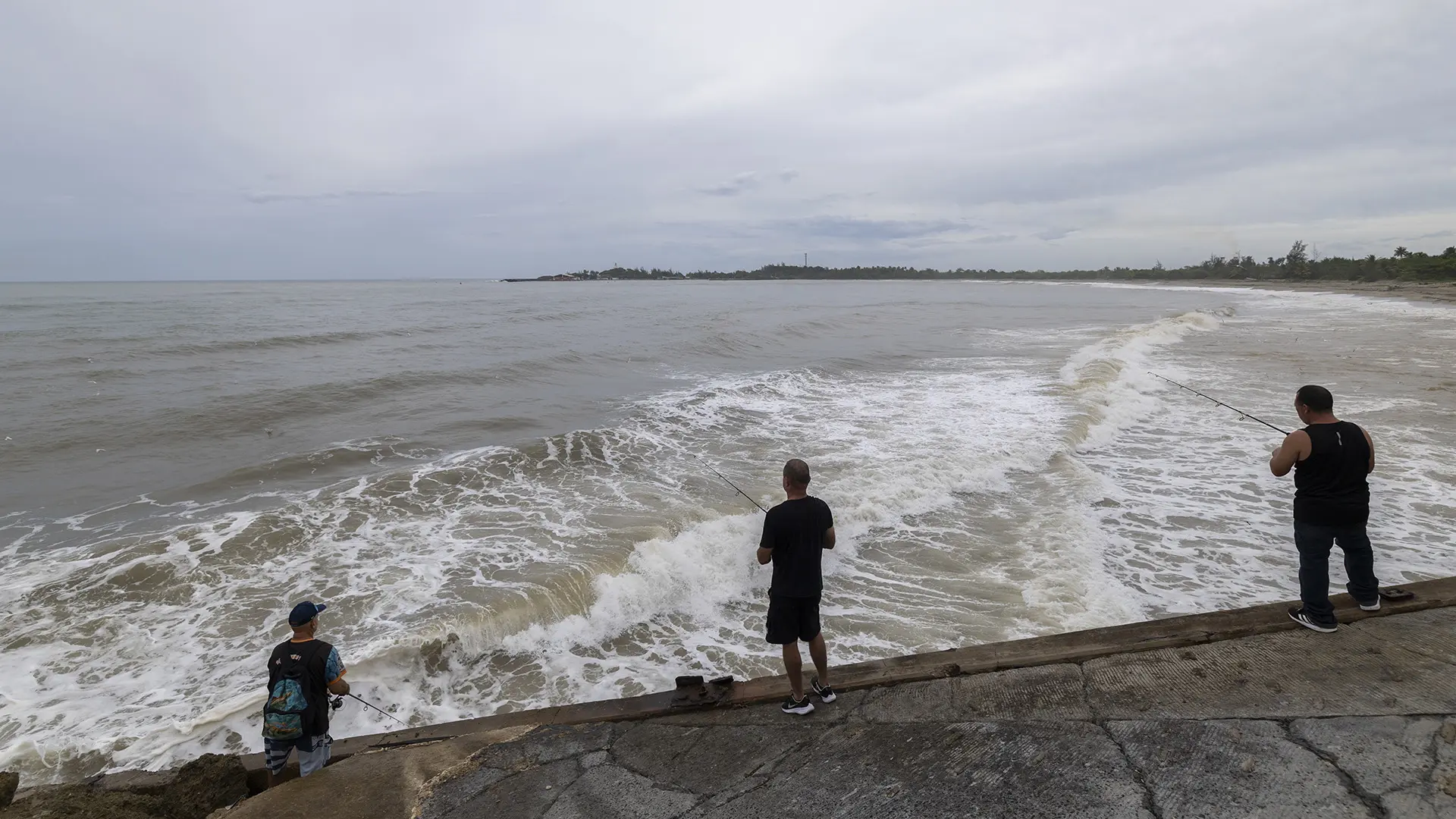
On Wrightsville Beach, emergency services rescued over 60 swimmers from hazardous rip currents, resulting in a no-swimming advisory in effect through Friday. Meteorologists predict that life-threatening surf conditions will persist throughout the week as Erin tracks northward.
Although Erin’s sustained winds have diminished to 110 mph, its tropical-storm-force winds reach up to 200 miles from the center. The storm’s diameter extends over 355 miles, producing 10-foot seas across a span nearly 645 miles wide.
Offshore wave heights could surge to between 20 and 30 feet, with storm surge anticipated to elevate water levels by 2 to 4 feet in at-risk areas.
As of Tuesday morning, Erin was approximately 675 miles southwest of Bermuda, moving leisurely at 7 mph. The National Hurricane Center anticipates that the storm will pass between the U.S. East Coast and Bermuda on Thursday, generating rough surf, rip currents, and localized flooding on the island.
Bermuda’s Emergency Measures Organisation (EMO) has activated its hurricane preparedness protocols, urging residents to finalize their preparations by Thursday morning, with red flag warnings expected at South Shore beaches. While Erin is not predicted to make landfall, its outer bands are likely to produce tropical-storm-force gusts and perilous marine conditions.